Introduction
Have you ever looked at a map of the United States and wondered why Alaska sits alone in a little box near Hawaii? You are not alone. Millions of people ask this question every year. An Alaska map is a visual guide that shows the state’s location, its cities, its borders and its natural features. It helps you understand how this huge state fits into North America, even though it looks far away on most maps.
Alaska is not a small state tucked into a corner. It is actually the largest state in the country by land area. Yet many maps shrink it down or place it in a box just so it fits neatly on the page. This creates confusion for travelers, students and anyone trying to plan a trip.
In this article, you will learn what an Alaska map really shows, where Alaska sits on the world map, why it appears separated from the rest of the United States, which cities and landmarks you should know, and which countries and oceans border this incredible state.
What Is the Alaska Map?
An Alaska map is a geographic representation of the state of Alaska. It shows boundaries, cities, roads, rivers, mountains and coastlines. Cartographers use different types of maps depending on what information they want to highlight. source: Encyclopedia Britannica
You will usually find an Alaska map in one of these forms:
- Political map: shows cities, boroughs and state boundaries
- Physical map: shows mountains, rivers, glaciers and natural features
- Road map: shows highways, ferry routes and travel paths
- Satellite map: shows real images captured from space
- Terrain map: shows elevation changes and landscape texture
Each type serves a different purpose. A traveler planning a road trip needs a road map. A geography student studying landforms needs a physical or terrain map. A researcher tracking wildlife may prefer a satellite map for accuracy.
Where Is Alaska Located on the World Map?
Alaska sits in the far northwest corner of North America. It touches the Arctic Circle and stretches close to Russia. In fact, at its narrowest point, Alaska is only about 55 miles from Russian territory across the Bering Strait.
Most people picture Alaska as isolated, but it actually shares a long land border with Canada. The state also reaches into three major bodies of water. This location gives Alaska a unique mix of Arctic, subarctic and coastal climates all within one state.
If you trace your finger along a world map, you will find Alaska north of the lower states, west of Canada and just across the water from Russia. That is a lot of geography packed into one place.
Why Is Alaska Separated From the Contiguous United States on Most Maps?
This question comes up all the time, and the answer is simple. Alaska is separated by Canadian territory. It does not physically connect to the other 49 states.
Most standard maps of the United States focus on the 48 contiguous states because they form one connected block. Since Alaska sits far to the northwest and Hawaii sits in the Pacific Ocean, mapmakers place both in small inset boxes. This keeps the main map clean and easy to read.
There is another reason too. Alaska is so large that if it were shown at true scale next to the other states, it would dominate the entire map. To keep things proportional and visually simple, cartographers shrink Alaska and place it in a corner box. This is purely a design choice and does not reflect Alaska’s actual size or importance.
Fun fact, if you overlay Alaska on top of the lower states, it stretches from California all the way to Florida. That gives you a real sense of how big this state actually is.
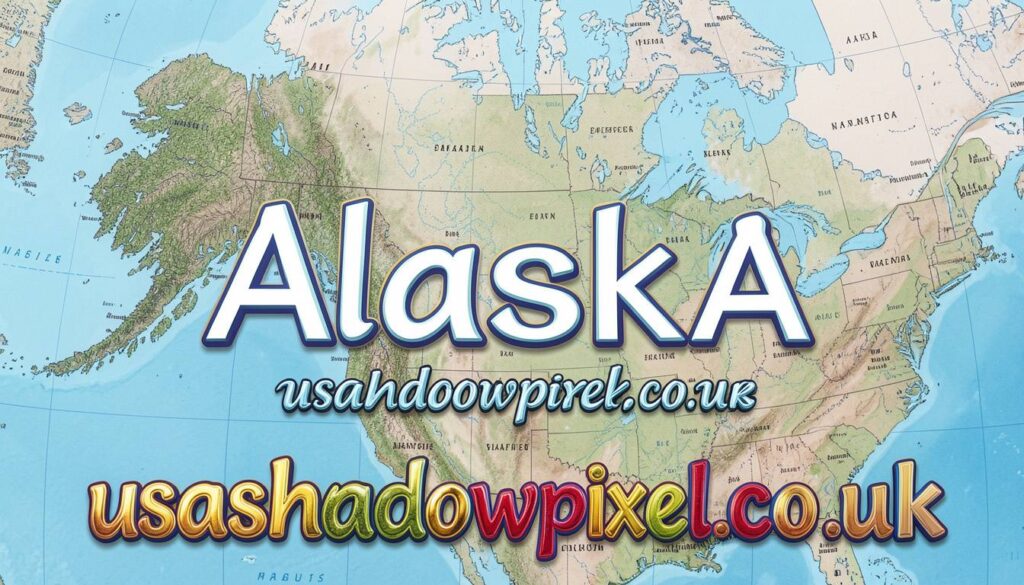
Major Cities Shown on an Alaska Map
When you look closely at an Alaska map, a few cities stand out as major hubs for travel, culture and daily life.
Anchorage
Anchorage is the largest city in Alaska. It sits along the coast and serves as the main gateway for most visitors. You will find international flights, major hotels and easy access to nearby mountains here.
Fairbanks
Fairbanks sits further north and is known for incredible views of the northern lights. Many travelers head here specifically to watch the aurora borealis dance across the sky.
Juneau
Juneau holds a special title. It is the state capital, yet you cannot reach it by road from the rest of the state. Visitors arrive by boat or plane, which makes it one of the most unique capital cities in the country.
Sitka
Sitka blends Russian and Native Alaskan history. Once the capital of Russian Alaska, it still carries cultural landmarks from that era.
Ketchikan
Ketchikan sits near the southern tip of the state. It is often called the gateway to Alaska because many cruise ships stop here first.
Major Landmarks You Will Find on an Alaska Map
Alaska is packed with natural wonders that draw travelers from around the world.
- Denali: the tallest mountain peak in North America
- Glacier Bay: a stunning coastal park filled with active glaciers
- Kenai Fjords: known for dramatic cliffs and abundant marine wildlife
- Arctic National Wildlife Refuge: a vast protected area home to caribou, polar bears and migratory birds
These landmarks are not just pretty spots on a map. They represent some of the last truly wild spaces left in North America.
What Countries and Bodies of Water Border Alaska?
Understanding Alaska’s borders helps you see why this state feels so remote yet so connected to the rest of the world.
Alaska borders Canada to the east, specifically the Yukon and British Columbia. To the north, you will find the Arctic Ocean, which freezes for much of the year. To the west, the Bering Sea separates Alaska from Russia. To the south, the Pacific Ocean shapes much of Alaska’s coastline and supports its fishing industry.
This mix of ocean access and Arctic exposure gives Alaska one of the most diverse coastlines in the world.
Why Understanding an Alaska Map Matters
Whether you are planning a trip, studying geography or just curious about the world, an accurate Alaska map helps you see the full picture. It shows you how far cities sit from each other, which roads connect (and which do not), and where the wildest parts of the state remain untouched.
I always tell people planning an Alaska trip to study the map first. Distances here are deceiving. What looks close on a map can take hours to reach by car, boat or plane.
Final Thoughts
An Alaska map does more than show lines and labels. It tells the story of a state shaped by mountains, oceans, glaciers and remote communities. Once you understand why Alaska appears separated on most maps and how its cities and borders fit together, the whole state starts to make a lot more sense.
Next time you look at a map of the United States, take a second look at that little box in the corner. There is an entire world packed inside it.
Have you ever planned a trip using an Alaska map? Share your experience or questions in the comments below.
FAQS
Is Alaska bigger than Texas?
Yes. Alaska is more than twice the size of Texas, making it the largest state in the country.
Does Alaska touch Russia?
Alaska does not touch Russia directly, but the Bering Strait separates the two countries by only about 55 miles at its narrowest point.
Why does Alaska look small on some maps?
Many maps shrink Alaska and place it in a corner box so it fits neatly alongside the other states.
What is the capital of Alaska?
Juneau is the capital of Alaska, and it can only be reached by boat or plane.
Can you drive to Alaska from the lower states?
Yes. You can drive through Canada using the Alaska Highway to reach the state by road.
also read: usashadowpixel.co.uk
email: johanharwen@314gmail.com
Author Name: Sarah Mitchell
About the Author : Sarah Mitchell is a travel writer and geography enthusiast who has spent years exploring the Pacific Northwest and Alaska. She enjoys breaking down complex geographic topics into simple, easy to understand guides for curious travelers and students alike.